


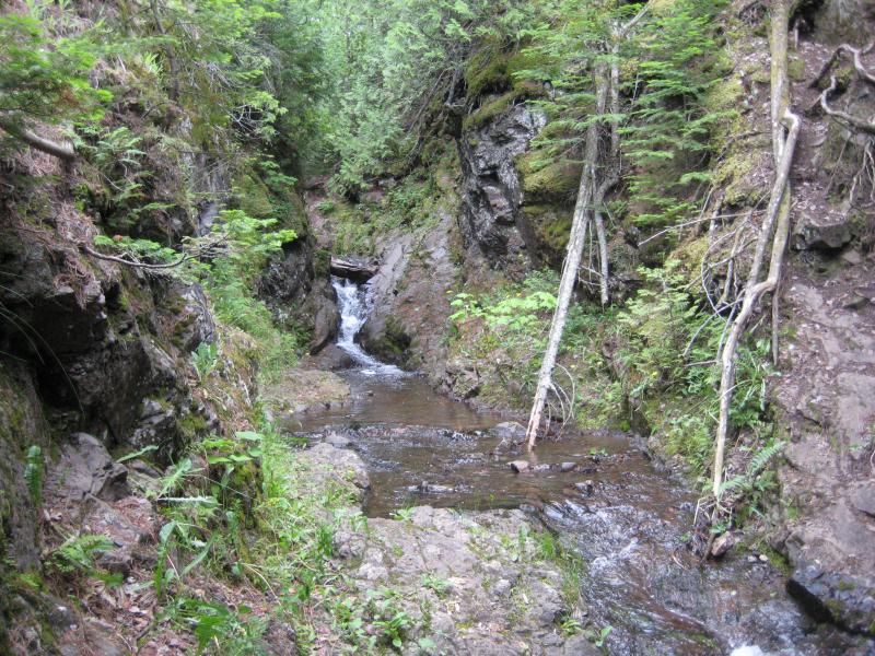

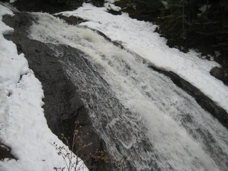


Located right off the road near the famous 'Jampot monks', Jacob's Falls is a mainstay of Keweenaw visitors. The main drop is visible from your car, a tall slide down smooth rock that pours from an impressive cut above. Visitors that are willing to do a bit of climbing can follow the creek up, finding one drop after another in a long chain that stretches from M-26 up to a steep, grassy gorge. There are a few particularly tough sections, including the intial climb up the lowermost drop, but a footpath is located on the eastern bank for those unwilling to stick to the creek and don't mind a more distant view.
There are plenty of other things to check out here, including two more waterfalls further upstream, the abandoned Arnold Mine less than a mile to the south, Great Sand Bay further up the road, and of course, the Jampot filled with sweet treats and delicious jams.
Directions
Jacob's Falls is located right off of M-26, about 3 miles east of Eagle River. Park near the falls or over at the Jampot parking area and follow the creek upstream to see all of the drops. If the going gets too tough head up the east bank to a footpath that follows the top of the creek's bank. Once the creek levels out in a grassy, overgrown channel there are no more drops until Upper Jacob's Falls, about a half-mile upstream.
Comments (0)